![现货Mapping India[9788189738983]](https://www0.kfzimg.com/sw/kfz-cos/kfzimg/17733071/bb97c263cdd3612e_b.jpg)
现货Mapping India[9788189738983]
¥ 478 九五品
仅1件
上海宝山
认证卖家担保交易快速发货售后保障
作者Lahiri, Manosi
出版社Niyogi Books
ISBN9788189738983
出版时间2012-08
装帧精装
纸张其他
页数319页
正文语种英语
上书时间2023-08-09

- 最新上架


商品详情
- 品相描述:九五品
- 商品描述
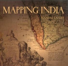
- Five hundred years ago the very first modern maps of India were drafted. Travelers, wanderers, explorers and traders came overland from the West and carried back tales of an exotic country they called India. The first maps of India were drawn based on the accounts of these men. When the sea route to India opened, sailors ferried back tales of the ports they touched on their way to India. Marine charts of the routes along the ocean coasts and artistic representations of port cities followed. As Europeans came in large numbers to trade and conquer, new territories further inland were mapped.
![现货Mapping India[9788189738983]](/dist/img/error.jpg)
— 没有更多了 —
以下为对购买帮助不大的评价